East Riding of Yorkshire Cycle Maps
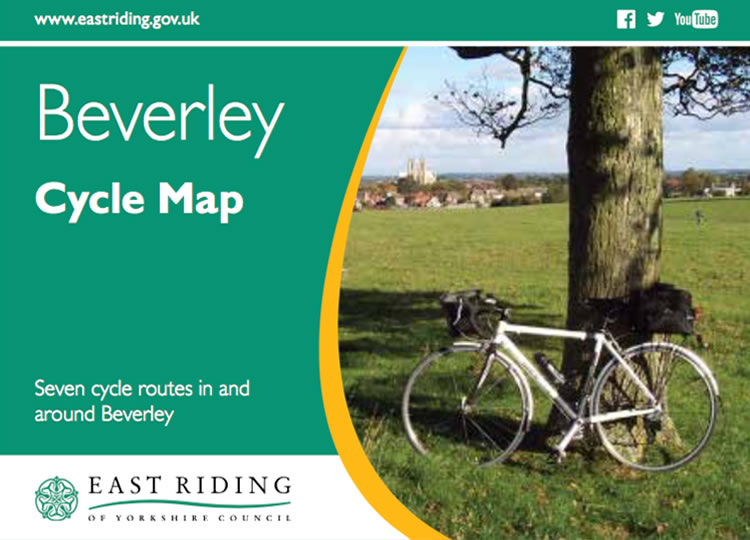
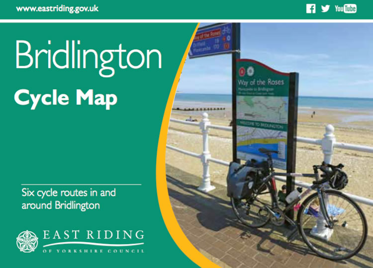
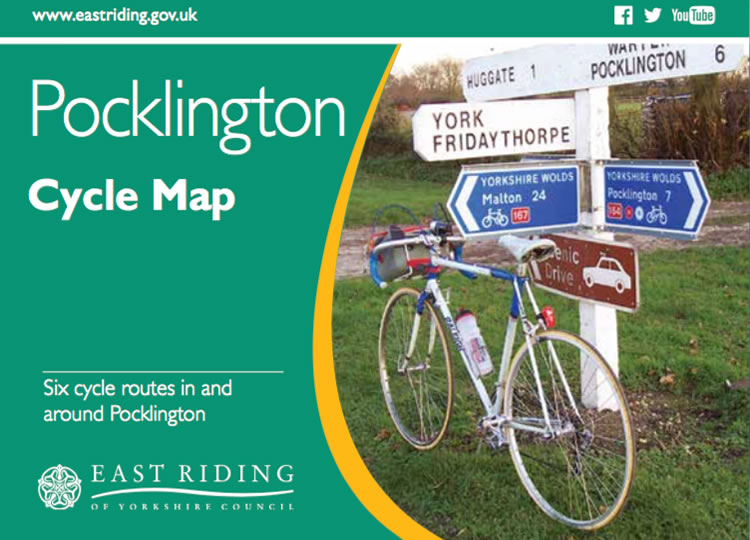
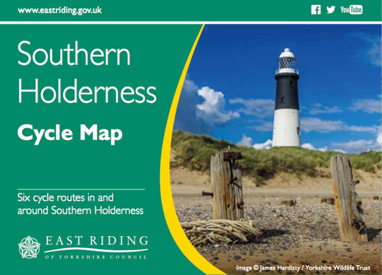
The East Riding of Yorkshire County Council has published a series of maps with a variety of cycle route to suit all standards from family rides to experts. The rides are graded Easy / Steady / Challenging and include points of interest along the way.
They have also provided a range of GPX map files (for use on GPS units, such as Garmin, Memory Map or SatMap devices). You can also download these GPX map files onto Applications for Android or iPhones or as PDF maps that you can download and print out.
Paper copies of the maps can also be found in Tourist Information offices and other ERYCC locations.
Here is a selection of the routes available. Click on the images below to view the paper maps.
National Cycle Routes
A number of recognised cycle routes to pass through Hutton Cranswick including the Yorkshire Wolds Route, a circular route of 146 miles, and the National Cycle Network Route 1, a distance of 1,735 miles coordinated by SUSTRANS (the country’s leading sustainable transport charity – for more information visit: www.sustrans.org.uk).
Hutton Cranswick wants to ensure that those who stop to ‘take a break’ in the village will receive a warm welcome. #STOVE cafebistro situated in Cranswick Garden Centre, on Burn Butts Lane, offers a good range of drinks and sustaining, home cooked food. Farm Shop at Cranswick, at the junction of Burn Butts with the A164, provides a wide variety of meals, sandwiches, drinks and local produce in their well appointed café and Farm Shop. In the village Main Street, there is a SPAR Shop with Post Office and The White Horse public house.
Hutton Cranswick station provides cycle racks for anyone wishing to take a train ride to explore Beverley or Hull to the south, before cycling on to the coast at Bridlington.


